Natural park that covers the area where the Douro River constitutes the border between Portugal and Spain, and the Águeda River, a tributary of the Douro
The area includes the municipalities of Mogadouro, Miranda do Douro, Freixo de Espada à Cinta and Figueira de Castelo Rodrigo.
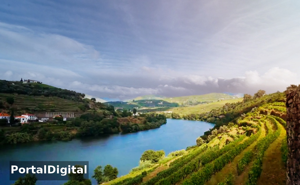
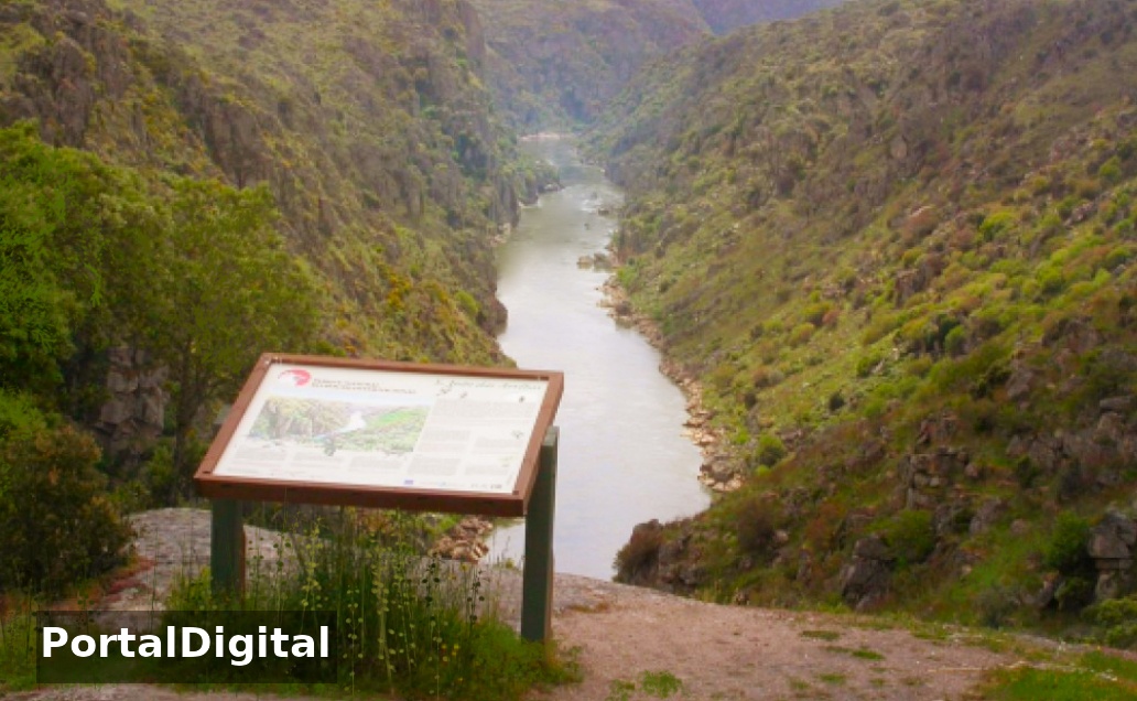
The Park area covers the border section of the Douro River including its valley and flat surfaces and extends southwards across the Águeda River for a length of around 120 km.
The Douro has a river with violent waters due to the dams and the contrast between the narrow gorge through which it flows and the undulation of the adjacent surfaces is notable.
The northern part corresponds to the Trás-Os-Montes area and is made up of an extensive plateau with altitudes varying between 700 and 800 meters. Here the Douro valley is quite enclosed with steep granite banks “the cliffs”, as you move south the valley becomes more open with plateau areas and residual reliefs topped by quartz.
In the south zone, the valley already resembles the “Douro Vinhateiro” with a climate of little precipitation and mild winter temperatures, forming part of the so-called Terra Quente Transmontana.
The Douro International Natural Park with 86,834.82 ha covers an extensive area adjacent to the river, with the vegetation dominated by holm oak or carrasco, juniper forests, cork oak forests and patches of black oak.
Douro Internacional is a fundamental area for the conservation of birdlife where birds are the most representative group of fauna in this area and one of the most important areas in the national and Iberian context.
The high diversity of several threatened species, with emphasis on rupicolous birds (birds that live/nest in rocky areas) such as the Egyptian vulture (Neophron percnopterus) and the Bonelli's eagle (Aquila fasciata) that have taken refuge here.
The region falls within the oak domain with black oak forests in the higher altitude areas, and holm oak and cork oak in the drier terrain.
In the tight valleys there are juniper groves and mudflats and on rocky spurs of the Douro and its tributaries, forests of alder, willow and ash trees next to the watercourses, and large expanses of broom Cytisus striatus and rockrose Cistus ladanifer.
Agricultural activity is extremely important in defining the landscape: extensive cereal cultivation creates important steppe biotopes for birdlife, and also the marshes, vineyards and olive groves give this area high biodiversity.
The fauna present in this Natural Park is distinguished by the number of species and their conservation status.
Birds have their preferred habitat on the cliffs (the black vulture, the Egyptian vulture, the golden eagle, the red-billed crow, the black stork and the peregrine falcon) with the exception of the golden kite and the hen harrier which occupy the plateau.
The reservoir of the Santa Maria de Aguiar dam in the southern part of the Park is the most important wetland in the entire northern and central interior for water birds, with emphasis on the crested diving population Podiceps cristatus.
In the Park and surrounding area there are some breeding and hibernation shelters for cave bats of national importance.
In the flat areas, cereal cultivation predominates, the marshes occupy the lowest and most humid areas of the valleys.
On the cliffs, Mediterranean crops such as vineyards, olive groves, almond groves and orange groves predominate.
In agriculture, indigenous breeds of sheep, Churra Galega Mirandesa and Churra da Terra Quente, and cattle, cow Mirandesa, are raised.
The pigeon housed in traditional dovecotes is part of the farmer's diet and enriches the land.
The Egyptian Vulture (scavenger bird) is present between March and September and then emigrates to central Africa, and was chosen as a symbol of the Douro International Natural Park.
An endangered species, the national vulture nests on the cliffs of Douro and Águeda in rocky cavities such as crevices or small caves.
The Egyptian Vulture is also associated with the adjacent plantation region where extensive cereal farming and livestock farming allow it to easily obtain and locate the corpses of animals on which it feeds.